
Lane Cove Council has promised rectifications to River Road as residents become increasingly concerned about the hazardous state of a pedestrian walkway and cracking tarmac situated between two cliffsides.
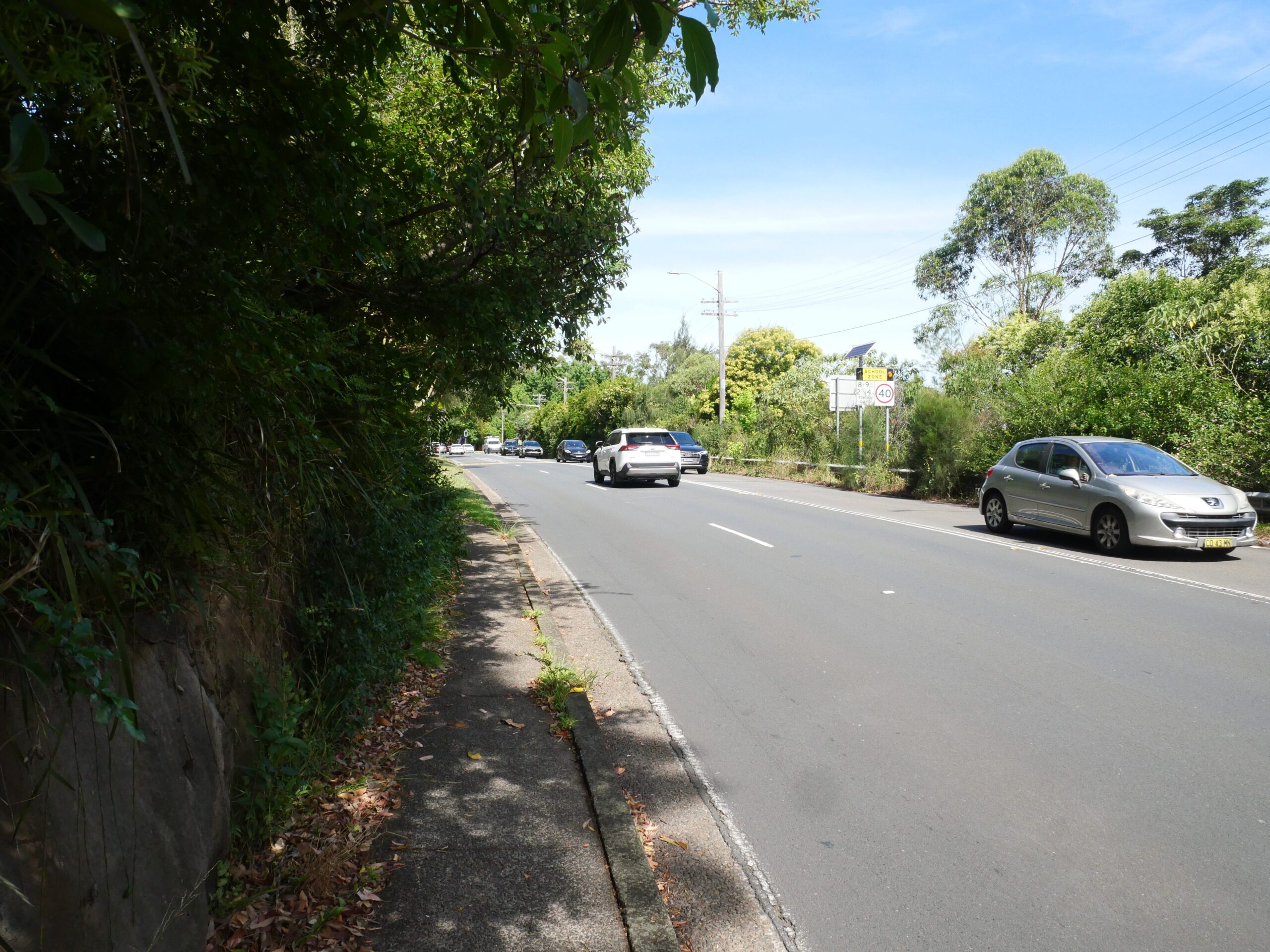
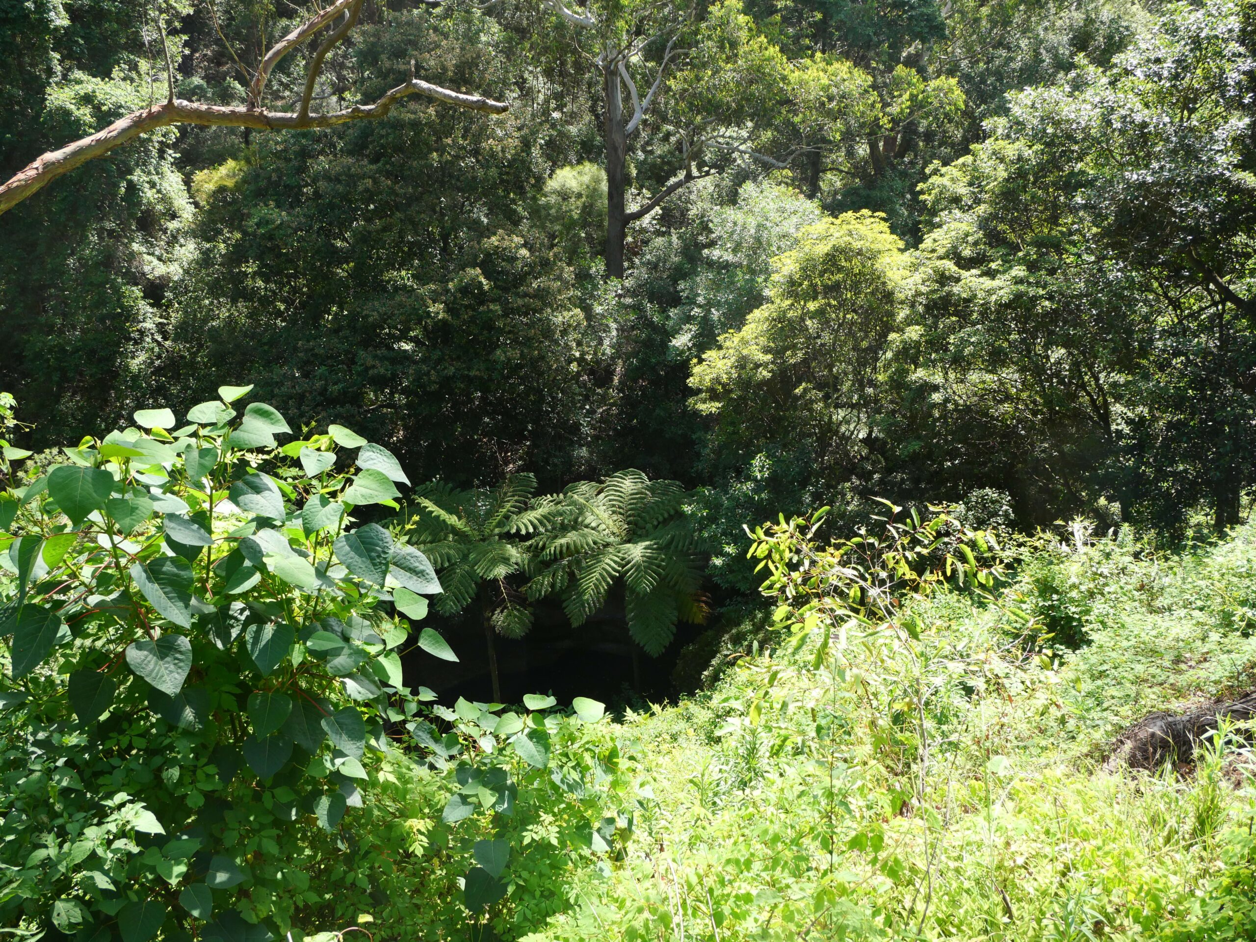
The area in question is above the Gore Creek walking track, a strip of road with low visibility due to its crests and curbs, which is often flooded with water during rain and at peak traffic times.
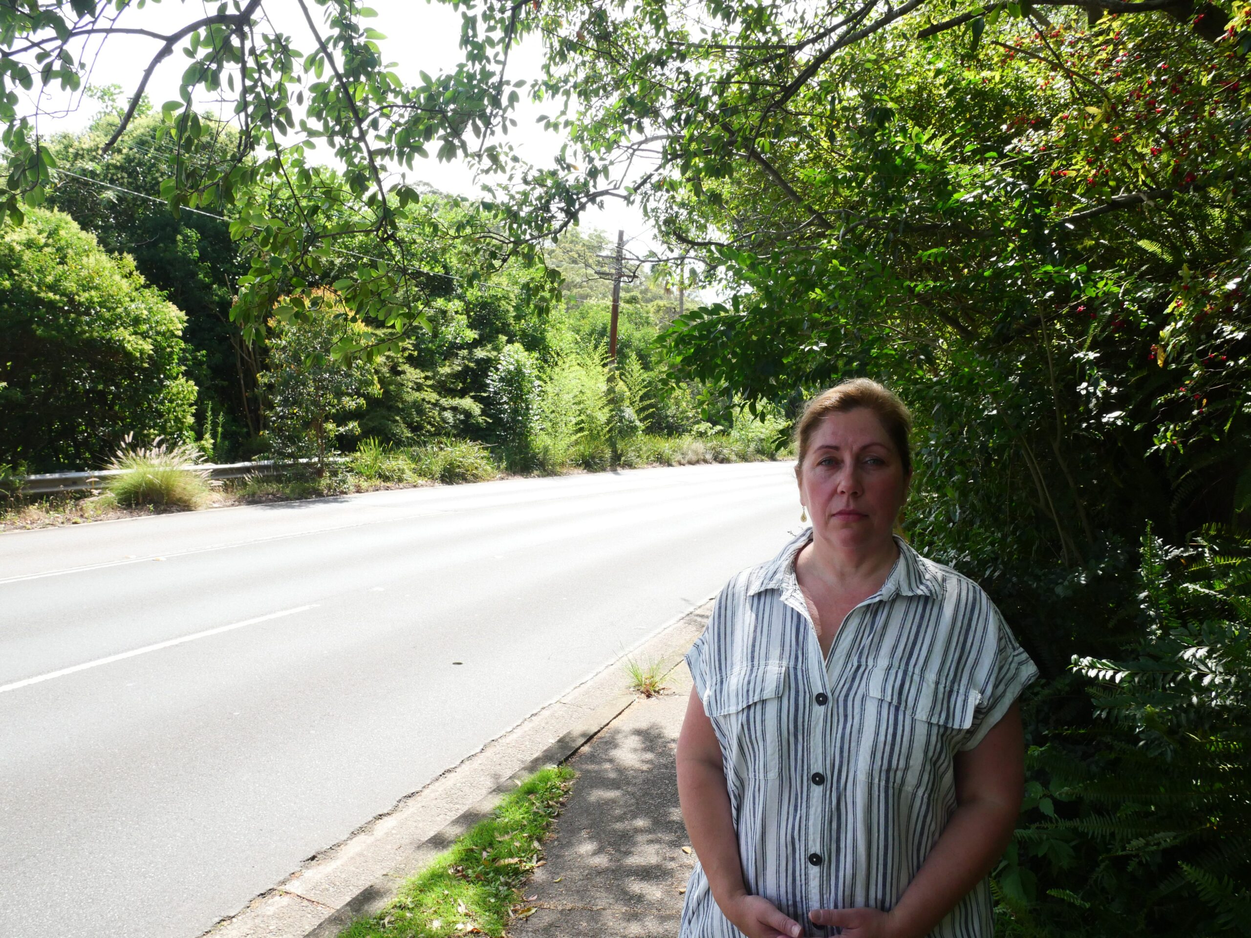
Christine, who has lived on the road for 13 years, is among the residents with growing concerns about the road and the area. Alongside her worries for constant road patchwork, unkept and falling vegetation attached to an unstable rocky cliffside, the mother has called out Lane Cove Council to also install a barrier along the narrow walkway hugging the road; a path her children and many students use on the way to Greenwich Public School each day.
However, her biggest concern lies with the structural integrity of the road, stating it’s “starting to cave down into or sink into Gore Creek,” she said. A large crack on the road is clearly visible, which Christine reports has become significantly larger over the past few months.
“I feel that the stability of the road hasn’t had any attention. I’ve emailed Council, I’ve tried to get people involved to look at the problem.”
River Road is one of the main gateways to Lane Cove and other suburbs, meaning traffic can be congested and, at times, aggressive during peak hours. This may only increase in the future as an estimated 3,600 residents are expected to move into the forthcoming developments in the St Leonards South Precinct.
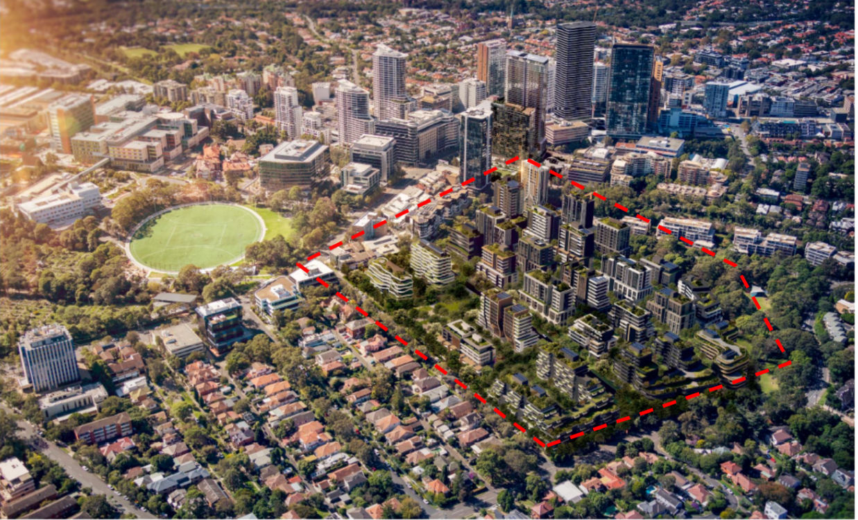
“This road over the last 12 years has become significantly busier. There are many residents entering the St Leonards South Precinct… That’s a lot of people and a lot of cars on the road,” Christine said.
There is also the Greenwich Hospital Redevelopment underway, which will also result in heavy construction vehicles using the road.
The action being called for is a report on the road’s stability, a barricade to be installed on the walkway for pedestrians, and the vegetation overhanging the path to be cut back and consistently maintained.
Is There Anything Being Done About These Concerns?
River Road is a regional road, meaning it is designated as such due to its network significance. Transport for NSW provides financial assistance to the Lane Cove Council for its management.
It appears that Lane Cove Council is currently assessing solutions for the issues raised by locals.
The possibility of the road becoming reduced to rubble in the gorge below was the priority concern among residents. A Geotechnical engineer employed by the Lane Cove Council has recently been assessing the stability of the road. The good news is that no immediate concerns were reported during the initial inspections, though further monitoring and assessments remain to be undertaken before an official report can be submitted.

Council also addressed concerns about the narrow walkway situated under the cliff face. A grant has reportedly been secured to undertake a new design for a shared user path, which will also incorporate safety measures for the cliff face, including vegetation management.
This is in line with the shared path program that has already been implemented around Lane Cove, including on Shirley Road, which intersects the eastern end of River Road.
It is currently unknown what these safety measures will entail – such as whether a barricade will be installed along the shared path – and a timeline for when these works will begin is still up in the air.
Other, more immediate safety measures have been rolled out or are at least scheduled. Residents have complained about faded road line markings and the road’s proneness to flooding during heavy rain, due to an unevenly placed stormwater drain. Council has since said it employed contractors to unblock the drain as a temporary solution, with a “longer-term” resolution forthcoming with the design of the shared path.
“I feel that in the rain, the lines are not even visible. So you and somebody who doesn’t know the road could easily slip and slide. And due to all the patchwork and the amount of water that’s coming down River Road on this section during a heavy rain, it is really dangerous… it gets really, really flooded.” Christine said.
The faded lines issue has been added to the Council’s line marking schedule; however, it will not be addressed for 7 to 9 months.
Not the First Time Safety Issues Have Been Raised
Long-time Greenwich Resident Don Murchinson has raised issues about the narrow pathway for years. He is a former chairperson of the Lane Cove Bicycle Advisory Committee, and he has raised safety issues from a cyclist’s point of view. Below is a video uploaded to YouTube in December 2018.
Some Safety Tips
To stay safe in this area, especially during heavy rain, it’s essential to be aware and keep your wits about you. State safety advice is to turn on your day running lights, brake gently to slow down, and increase the gap between you and the vehicle in front.
Extra care should be taken when driving on unsealed roads, or in this case, if patchwork on the tarmac has been corroded.
As for people walking the narrow path, Council has previously stated that a geotechnical engineer assessed the cliff face adjoining the walkway and recommended remediation works. The path has signs warning pedestrians and drivers of falling rocks.
As for things you can control, while the walkway is still narrow, it’s best to take caution on it as much as possible. This includes ensuring you don’t rush along the path, particularly kids riding their bikes, and removing or reporting to Council any obstructions caused by the cliff face or surrounding vegetation.